As passionate travellers and collectors of art, we started researching and drafting a map in 2008 that could be both beautiful yet relevant to our lives. Google Maps are practical but emotionless, culture-less. Old maps have a marked allure of romance, adventure, and exploration. We wanted to give that back to modern maps.
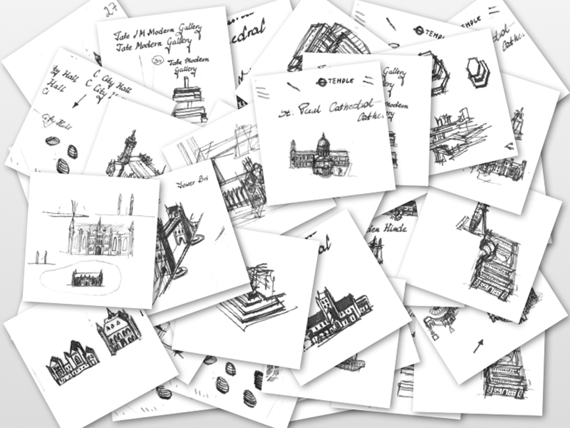
We referenced many maps from 16th to 19th Century and tried to recreate that style on paper. After sketching the layout on paper and illustrating many buildings using bird's eye view, we decided to re-draw it digitally to capture the layers and high fidelity artwork. This took years to master and we tried variously painting and layering styles until it looked great.

In 2011, we started working on the physical product. We sought out advice of experts from across England and Poland including antique map dealers, history professors, other modern-day cartographers, paper experts, and shoemakers. Producing the physical map involved prototyping with many materials including PVC, silk, faux leather, 30+ types of paper, canvas, coloured paints, inks, and a dozen types of glue and adhesives.
After making over twenty prototypes of the map which included it being glued to leather, stitched to leather, made into a scroll with wood dowels, folded like a wallet, rolled in leather and silk; we decided on a less than lavish final consumer product and packaging at a price that retailers were willing to take a risk on during the Christmas season and it was very successful for stores. This would be our 1st edition canvas London map, the 2011 vintage.
In 2012, we came out with a huge London wall map that spans almost 2 metres. This commemorative edition called the Grand Map of London was modified to include references to the London 2012 Olympic Games. We also made a smaller wall map and a paper version with the same artwork. The paper version was called "the Travellers Map" and makes for a fine souvenir.