Grand Map of London
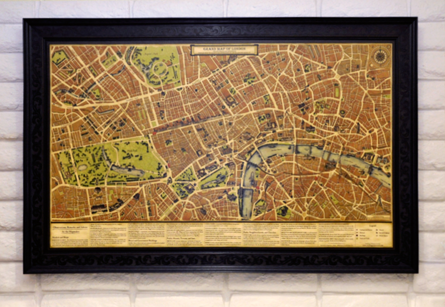
This beautiful vintage 1800s style wall map took over three years to produce and accurately describes the capital city of London in 2012 during the reign of Queen Elizabeth II showing major streets, markets, churches, great houses, neighbourhoods and public buildings. Hand-drawn in England, this rare map is one of the few contemporary maps still made in the historical style, incorporating symbolic and traditional elements of maps used by travellers and explorers of past centuries.
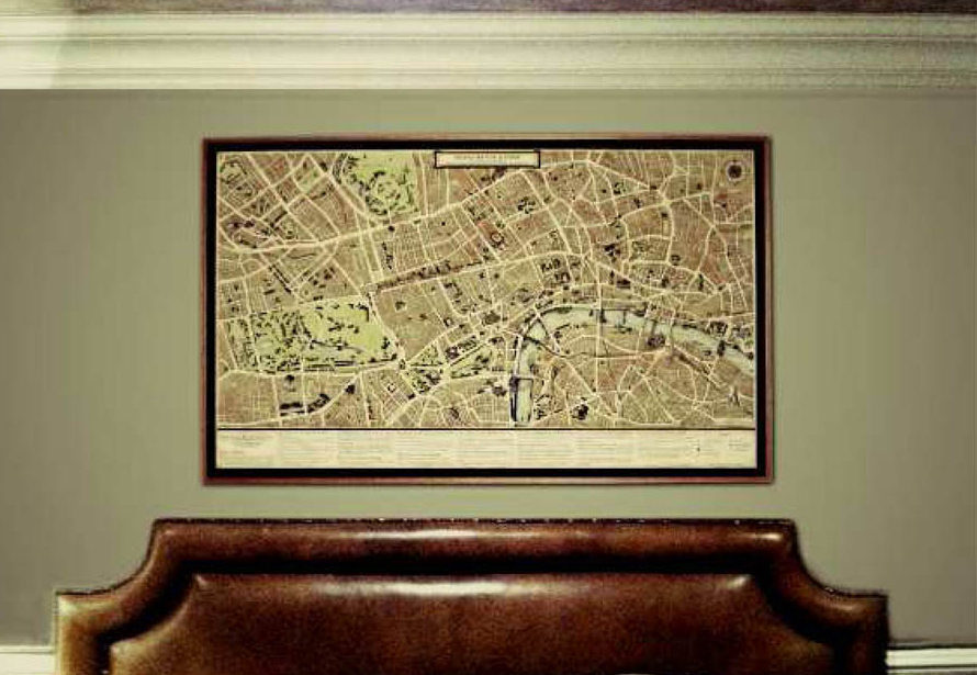
Extending from Kensington Palace Gardens to Tower of London, this map measures 170 x 100 cm and makes a strong statement in any home or office. Learn about the artwork and see the map in high resolution.

Like the folded canvas maps of the 1800s, our map also contains a guide for travellers about local markets, churches, neighbourhoods, and lodgings.
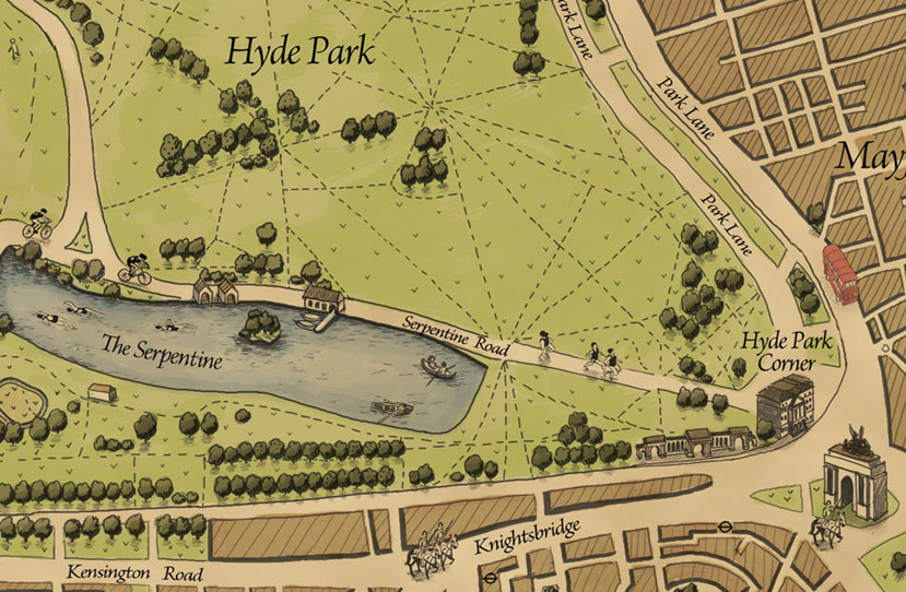
The Grand Map of London is commemorative edition map specially made for visitors attending the XXX Olympiad. Olympians are scattered across London where the events take place. For example, archers in Lord’s Cricket Ground, triathletes in Hyde Park, and rowers on the River Thames.
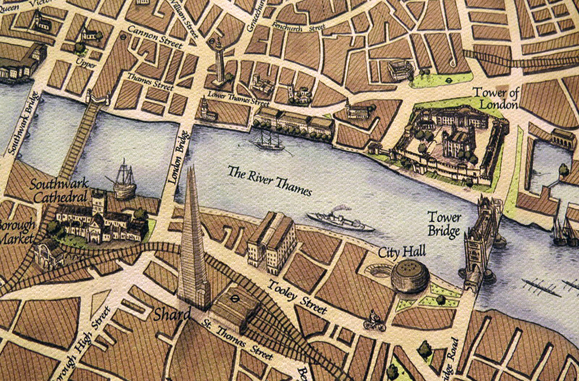
In addition to being Olympic themed, it accurately accounts for newly developed motorised and horse-drawn carriage roads and buildings such as the Shard.
Our maps are made to enchant anyone who loves history and appreciates art. Some of our top customers include City of London, bookshops, galleries and hotels.
British Tradition
In the 1800s, diplomats and merchants from around the world arrived in the ports of London and would purchase maps from pedlars. Maps were not only very popular but also a crucial tool that kept visitors safe and informed of markets, churches, neighbourhoods, and lodgings.

These meticulously crafted working documents also served as gifts, ornaments, and elegant tokens of remembrance for early travellers. As the city changed, so has the look of its maps – but not ours. Our current day maps have kept the same style true to the originals used in the days of Arthur Wellesley, 1st Duke of Wellington.


